Cootes
Paradise is a 600 hectare wildlife sanctuary with a 320 hectare river mouth
wetland. The lands are owned and managed by the Royal Botanical Gardens. The wetlands are a catchment area for three
main waterways: Borer’s Creek, Chedoke Creek and Spencer Creek. It is connected
to Hamilton Harbour via the Desjardins Canal.
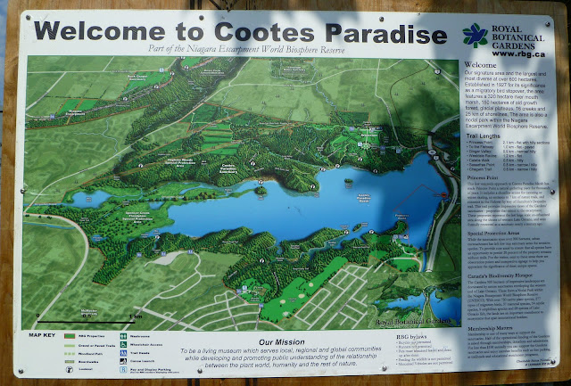 |
| Cootes Paradise Signage |
Due to the
location and topography of where Cootes is situated, it plays an important role
for migratory waterfowl.
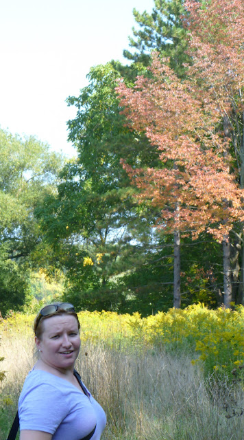 |
| Margaret walking on the trails |
 |
| Monarch Butterfly on goldenrod |
 |
| Close up |
 |
| Beautiful willows along the waters edge |
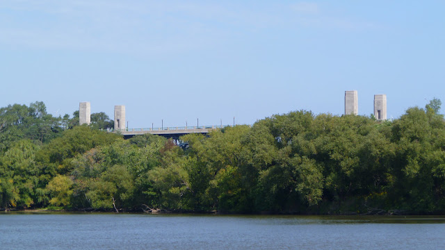 |
| High Level Bridge - overlooking Cootes Paradise |
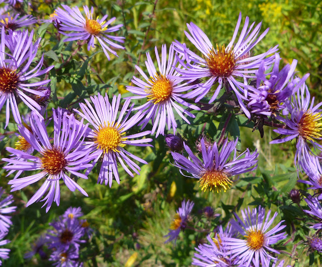 |
| Purple Aster |
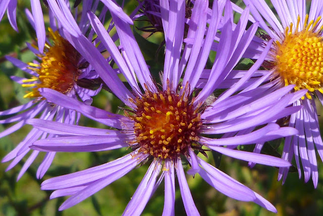 |
| Purple Aster closeup |
 |
| Looking West out over Cootes Paradise |
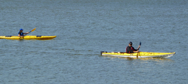 |
| Kayaking at Cootes Paradise |
Cootes has a
multitude of hiking trails on the east and west side of the wetlands. Many
people enjoy canoeing and kayaking along the shoreline. Margaret and I enjoyed
walking along Sassafras Trail toward Sassafras Point. I will be returning again
to explore more of this beautiful and interesting area.
Location
Coordinates: 43° 16′ 37.06″ N, 79° 54′ 10.98″ W UTM 17N 589008 4792156
 |
| Paddling |
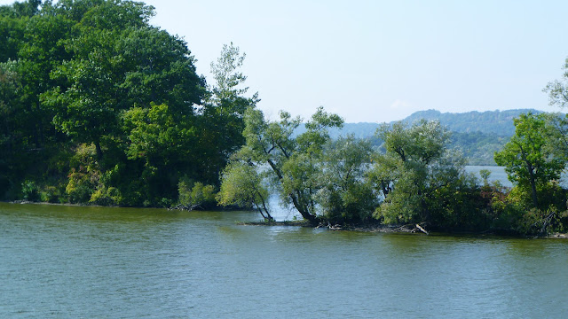 |
| Sassafras Point - Cootes Paradise |

No comments:
Post a Comment