Sunday, 16 September 2012

Inglis Falls - Owen Sound Ontario


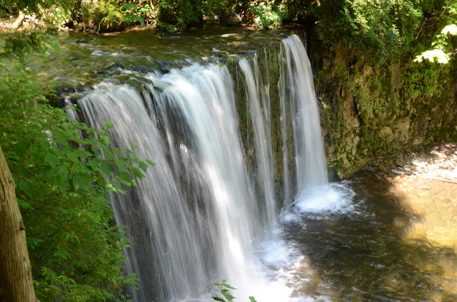
Inglis Falls is located just south of Owen Sound, Ontario on the Sydenham River. The Falls are part of the Inglis Falls Conservation Area. The height of the falls is 18 metres.  The waterfall is named after a Scottish immigrant, Peter Inglis who settled in the area around 1845.

  
Outdoor Adventurers
Sydenham River just above Inglis Falls


Outdoor Adventurers
Sydenham River


Outdoor Adventurers
Great signage along the trails


Outdoor Adventurers
Remains of the Grist Mill

Remnants of a nineteenth-century gristmill are reminders of the power in this falling water, used by Inglis.  Some of the original mill wheels that were used for grinding are on site.

Outdoor Adventurers
Margaret taking great shots
 

The area was well marked and the view through the canyon towards Owen Sound is fantastic. Margaret and I explored the trail down towards the bottom of the falls. 


Outdoor Adventurers
Canada Geese flying over the Falls


Outdoor Adventurers
Heading South


Outdoor Adventurers
Inglis Falls from Lookout


Inglis Falls with just a bit of water


Outdoor Adventurers


Outdoor Adventurers


Outdoor Adventurers
Stairs down to trails


Trail down to Falls bottom


Outdoor Adventurers
Trail can be very rocky


The Bruce Trail swings by through the area heading north to Tobermory. There are many great spots to stop for photographs.


Along the Bruce Trail

Anyone heading to Owen Sound should make a stop and explore this beautiful natural area.

Coordinates :   UTM  17N  505224  4930346


Saturday, 8 September 2012

Colpoys Bay - Wiarton Ontario


Colpoys Bay is located on Georgian Bay, Ontario, Canada.  The Bay is named after Sir John Colpoy who was an Admiral in the British Navy during the early 1800s. With its limestone cliffs rising on either side of the bay, the Niagara Escarpment reveals itself. 

 
Colpoys Bay - Looking North


Niagara Escarpment Limestone Cliffs

 
 The remarkably clear blue waters of Georgian Bay are among the clearest in the Great Lakes with visibility reaching up to 20 meters. There are three islands at the entrance to Colpoys Bay – Griffith Island, Hay Island and Whitecloud Island.


Sailing to Whitecloud Island


Griffith Island is home to Griffiths Island Lighthouse. It is one of six Imperial Towers that were constructed around 1959. Commissioned in 1855 by the Board of Works who contracted a builder from Thorold, Ontario, this plan was to have eleven lighthouses and dwellings which would see the lighting of Lake Huron and Georgian Bay for shipping. 

White Cloud is larger than nearby Griffith Island, and has a well-protected harbour in Kidd Bay. Anchorage in the bay is popular with local sailors. Land on the island is privately owned, mostly wooded.


Super clear water in Colpoys Bay


Colpoys Bay with Whitecloud and Griffith Islands in distance
 
Limestone beach


Divers getting ready for some time under the waves

 
Chicory (Cichorium intybus)


Salmon Fishing - during the Salmon Derby
 
For hikers, the  Bruce Trail runs right through this area on its way north to Tobermory or south to Owen Sound

There are several Bruce County Conservation Areas that are located close by.  On our trip, we visited Colpoys Lookout Conservation Area and the Bruce’s Caves Conservation Area. I highly recommend checking this area out.


Check out these other sites for more information:


Colpoys Lookout Conservation Area   -  UTM  17N  498292 E  4960802 N

Bruce’s Caves Conservation Area   -  UTM  17N  494064 E  4957404 N

Saturday, 11 August 2012

Conservation Halton Parks - Halton Region Ontario


Since I was the age of 13, I have hiked and enjoyed Conservation Halton parks.  They offer many outdoor activities such as, boating, cross-country skiing, fishing, hiking and so much more. The best part is they are located just a short distance from major population centers.
Conservation Halton owns and operates six conservation areas, including Crawford Lake, Mountsberg, Rattlesnake Point, Hilton Falls, Kelso and Mount Nemo.


Outdoor Adventurers
Mount Nemo from Rattlesnake Point

Crawford Lake Conservation Area – 468 hectare park that has a meromictic lake and a 15th century reconstructed Iroquoian village. My favourite hiking trail is the Woodland and Nassagaweya Trail.

Outdoor Adventurers
Reconstructed Iroquoian Village

Outdoor Adventurers
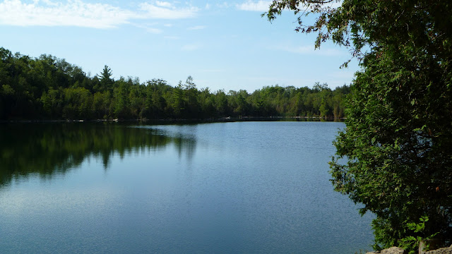
Crawford Lake 

Mountsberg Conservation and Wildlife Center – 472 hectare park with over 16 kilometers of nature trails, a 202 hectare water control reservoir and home to the Mountsberg Raptor Centre. My favourite hiking trail is the Lakeshore Lookout Trail and visiting the various birds of prey at the Raptor Centre.


Outdoor Adventurers
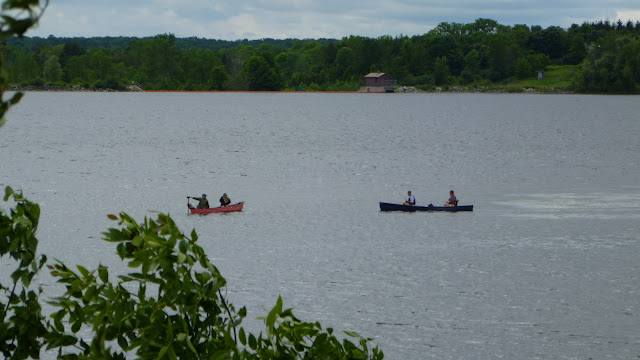
Mountsberg Reservoir

Outdoor Adventurers
Owl at the Mountsberg Raptor Centre

Kelso Conservation Area – 980 acre park that includes a dam and reservoir that offers swimming and boating. It has over 16 kilometres of hiking and biking trails. My favourite hiking trail is the Escarpment Trail.

Outdoor Adventurers
Kelso Conservation Area Lookout


Outdoor Adventurers
Kelso Escarpment Trail

Rattlesnake Point Conservation Area – 727 acre park that showcases the Niagara Escarpment sheer cliffs, crevices, caves to name a few.  My favourite hiking trails are the Vista Adventure Trail and the Buffalo Crag Trail. 


Outdoor Adventurers
Rattlesnake Point Conservation Area

Hilton Falls Conservation Area – 1592 acre park that has 33.5 kilometers of incredible hiking and biking trails. A trip to Hilton Falls is very worthwhile. My favourite hiking trails are the Red Oak Trail and Beaver Dam Trails.

Outdoor Adventurers
Hilton Falls

Outdoor Adventurers
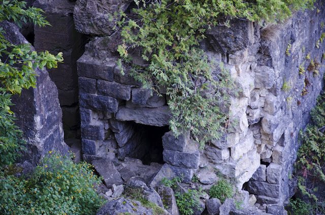
Limestone outcrop at Hilton Falls
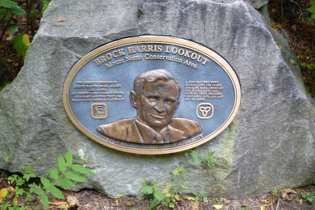
Mount Nemo Conservation Area – is a great location to explore the edge of the Niagara Escarpment for lookouts and the natural limestone ecosystems. My favourite hiking trail is North Loop Trail. Don’t forget to visit Brock Harris Lookout.

Outdoor Adventurers
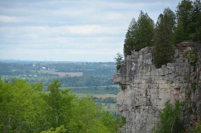
Brock Harris Lookout - Mount Nemo

Outdoor Adventurers
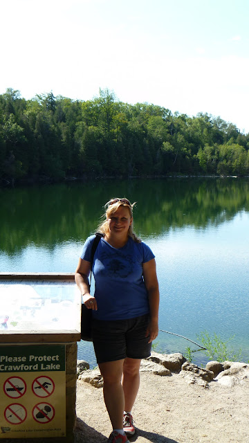
Margaret beside Crawford Lake

The next time you are trying to decide where to go for outdoor activities, visit one of these great locations.

Some great resources check out:


Monday, 6 August 2012

Hogg's Falls - Grey County Ontario


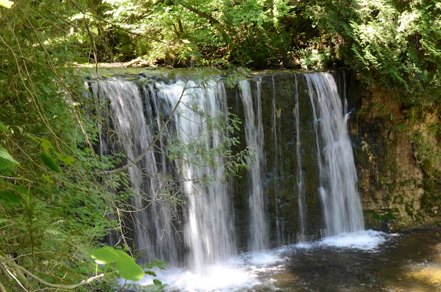
Several weekends ago, we stumbled upon a spot called Hogg's Falls. It is located at the extreme south end of the Beaver Valley in Grey County near Flesherton, Ontario. The falls is about 7 metres high and is part of the Boyne River system.
Outdoor Adventurers
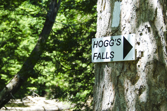
Hogg's Falls Trail


Outdoor Adventurers
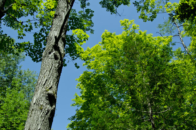
Hardwood forest


The falls was named after William Hogg. This is the same family related to Toronto's Hogg's Hollow.


Outdoor Adventurers
Boyne River


Outdoor Adventurers
Wild flowers near river


Outdoor Adventurers
Trail leading to Hogg's Falls


Outdoor Adventurers
Hogg's Falls


Outdoor Adventurers
The brink of Hogg's Falls

Great location to hike and just enjoy the outdoors. Some other falls to check out in the vicinity would be Eugenia Falls, Indian Falls and Inglis Falls.

Another resource if you are planning a trip to Grey County, Ontario is www.visitgrey.ca

Location Coordinates:  UTM  17N   536539 E   4904036 N

Outdoor Adventurers