If you are looking for an interesting day trip not too far from the Greater Toronto Area, check out the Mono Hills. A great place to strap on the pack and go exploring for the day.
This area of central southern Ontario known as the hills and headwaters is where four major river systems start – the Credit, the Grand, the Humber and Nottawasaga. It is also the highest elevation in Southern Ontario. Protected by the Ontario Government as a designated greenbelt it has rolling hills, meadows and forest with the Niagara Escarpment as a background. If you are looking for a place to hike with some challenge, this is a perfect spot.
 |
| The view looking East toward the Holland Marsh |
North of Mono Hills Provincial Park is another Ontario recreation facility - Boyne Valley Provincial Park. The Boyne Valley is a non-operating and has no facilities except hiking trails. Located about twenty kilometers north of Orangeville, four kilometers east of Shelburne. South is the Hockley Valley. A beautiful drive at any time of the year, but most spectacular during the Fall colour change. East is the Holland Marsh, with its perfect soil for growing market garden produce. It’s one of Ontario’s many garden fresh produce locations. West is the source of the Grand River and the Luther Marsh Conservation Area. This marsh is one of Ontario’s most significant wetlands and provides a safe haven for many types of waterfowl.
The Trail
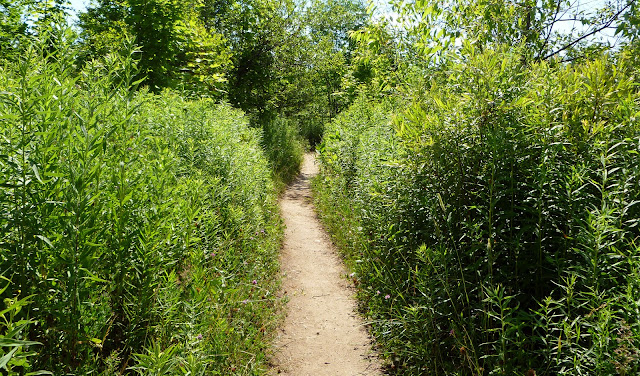
The general condition of the trails at Mono Hills were very good. Only specific areas within the trail network were difficult to walk on. Rutted and washed out, this made it hard to walk. It was a mix of hard packed dark soil and sand mixed with aggregates. It certainly gave the hiking boots and our feet a work out.
Outdoor Adventurers Rating
Overall this area is a moderate challenge to the hiker. Two words could explain why this is a moderate rating – Niagara Escarpment. The trail takes you up the side of the escarpment, a 100+ meter incline. This will give the cardio system a workout for sure.
Overall this area is a moderate challenge to the hiker. Two words could explain why this is a moderate rating – Niagara Escarpment. The trail takes you up the side of the escarpment, a 100+ meter incline. This will give the cardio system a workout for sure.
Great lookouts, differing topography and the chance to see tons of wildlife all add up to making your time on the trail at Mono Hills Provincial Park a great investment. For more information on the Hills and Headwaters region, check out http://www.thehillsofheadwaters.com/
Other areas that are similar: Rattlesnake Point, Dundas Valley Conservation Area, Blue Mountain Caves
 |
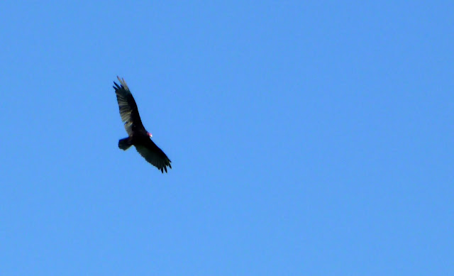
| Turkey Vulture soaring on the thermals |
 |
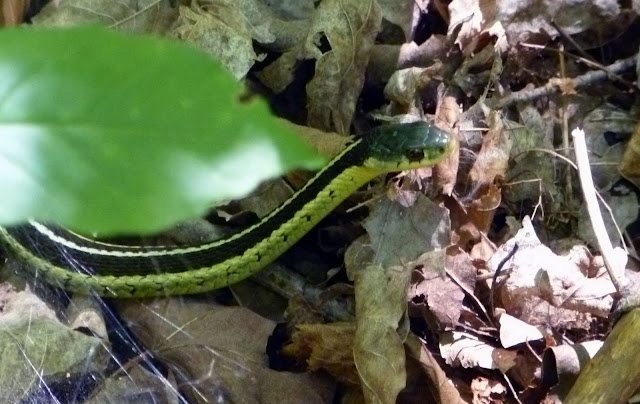
| Garter snake checking us out |
Other areas that are similar: Rattlesnake Point, Dundas Valley Conservation Area, Blue Mountain Caves
Mono Hills Provincial Park is located fourteen kilometers northeast of Orangeville, four kilometers east of Mono Centre. Take Hwy. 10 north from Orangeville to Mono Centre Rd. (Dufferin County Rd. 8), then go east eight kilometers past the village of Mono Centre to the 3rd Line E.H.S.
Check out (Sub)urban Tourist's post on five places to visit within one hours drive from Toronto including Mono Hills.


Very Cool!! Love the Garter snake photo.
ReplyDelete